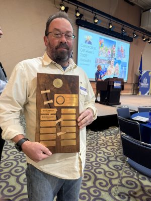
Erik Snowden 2025 Awardee Bio
In his 27 years of service in the CT GIS community (plus 2 years of aerial mapping photography in Colorado), Erik has been heavily involved in the evolution and advancement of GIS in CT, in addition to running the GIS, IT and Cybersecurity programs at the Capitol Region Council of Governments.
If you’ve used Connecticut orthophotography or lidar, there’s a good chance Erik was involved. Here are some career highlights:
- In the early 2000s he managed a project creating the first regional parcel dataset and viewer, as well as zoning, and land use datasets.
- In 2009 he managed the first regional 3” pixel aerial orthoimagery project using funds from the Regional Performance Incentive Program (RPIP).
- In 2016 he managed the first statewide 3” pixel ortho and QL2 lidar acquisition in the country and still loses sleep over late snowfall and early leaf on conditions….even when there isn’t an active flyover occurring….
- He’s been a member of 4 statewide flyover management teams, including the most recent 2023 flight.
- He was a member of a group in the early 2000s that evolved into the creation of the CT User Network and the first iteration of the CT Geospatial Information Systems Council, of which he was also a member. He is also a current appointed member of the CT GIS Advisory Council and the Parcel/CAMA working group.
- He was a member of the team that worked with the state legislature to create the CT GIS Office.
- In 2020 he and his team won an ESRI SAG award for their work managing a consultant project to create CRCOGs Regional Property Viewer on its in-house ArcGIS Enterprise platform.
- With copious guidance from Arthur Crawford (ESRIs foremost 3D expert), Erik’s in-house team developed a 3D building dataset using the 2016 QL2 lidar.
Above all he cherishes the friendships, collaboration, and pioneering spirit of his CT GIS colleagues, and is grateful to have had so many opportunities to work with them on so many rewarding endeavors. He is honored to be recognized by the CT GIS User Network and appreciates all the strong (volunteer) work that they do.