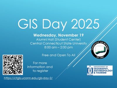
GIS Day 2025 CCSU


GIS Day 2025
2024 CT Maps Competition
Congratulations to our 2024 CT Maps Competition winner, Emeric Becker!
Visit the CT Maps Competition page to view Emeric's StoryMap.
CT GIS Network Logo Winner!
Congratulations go out to David J. Scherf, GISP Manager of GIS/Technical Services at the City of Torrington for designing the new CT GIS Network logo!
Thank you to all who submitted their creative artwork.
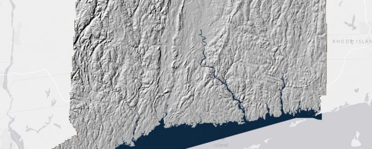
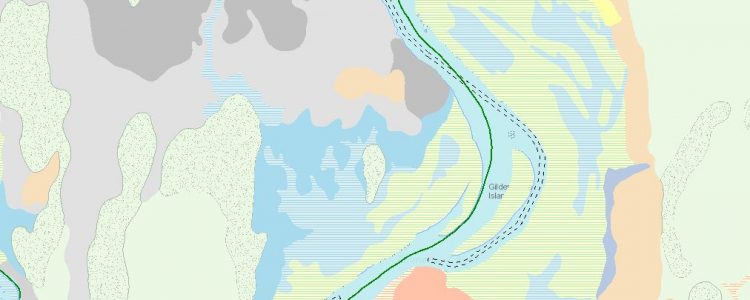
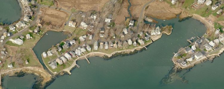
Congrats to our two state winners of the CT Maps Competition, Melinda Lu and Connor Wood. These two will now go on to compete in @GISEd National Competition. Check out their story maps on the CT GIS Network website: https://ctgis.uconn.edu/ct-maps-competition
CT GIS Day! This Friday, Nov 18th at Fairfield University #GISDay2022 #ctgisday #GIS

Join us Friday, May 27th, for the CT GIS Network Meeting which now will be virtual. Visit http://ctgis.uconn.edu for more details.
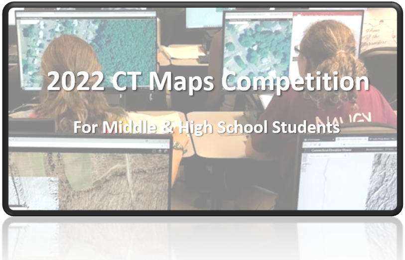
2022 CT Maps Competition- register by April 8th, entries are due May 6th! Visit the CT GIS Network website for more details. http://ctgis.uconn.edu