GIS Day 2019 at Eastern Connecticut State University
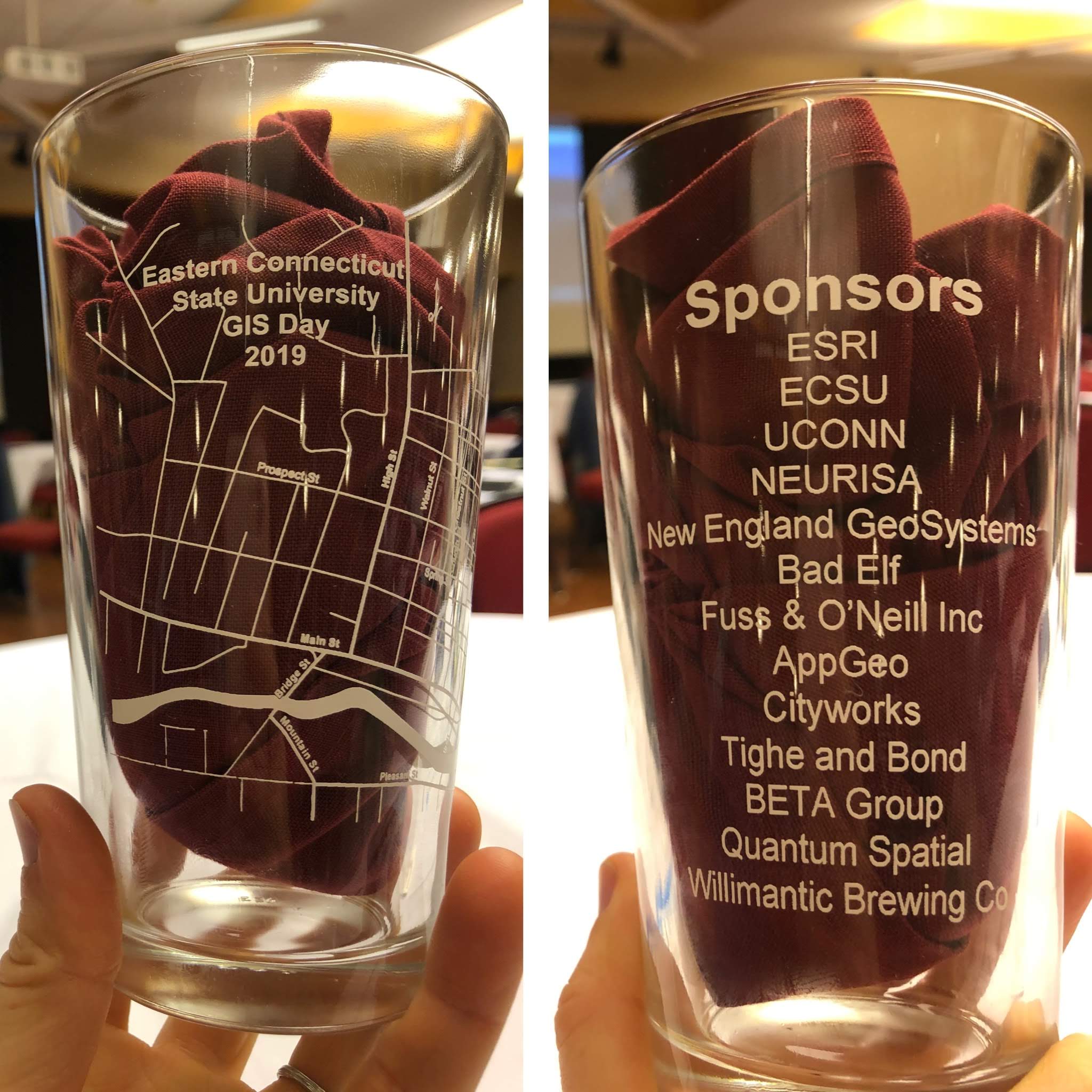
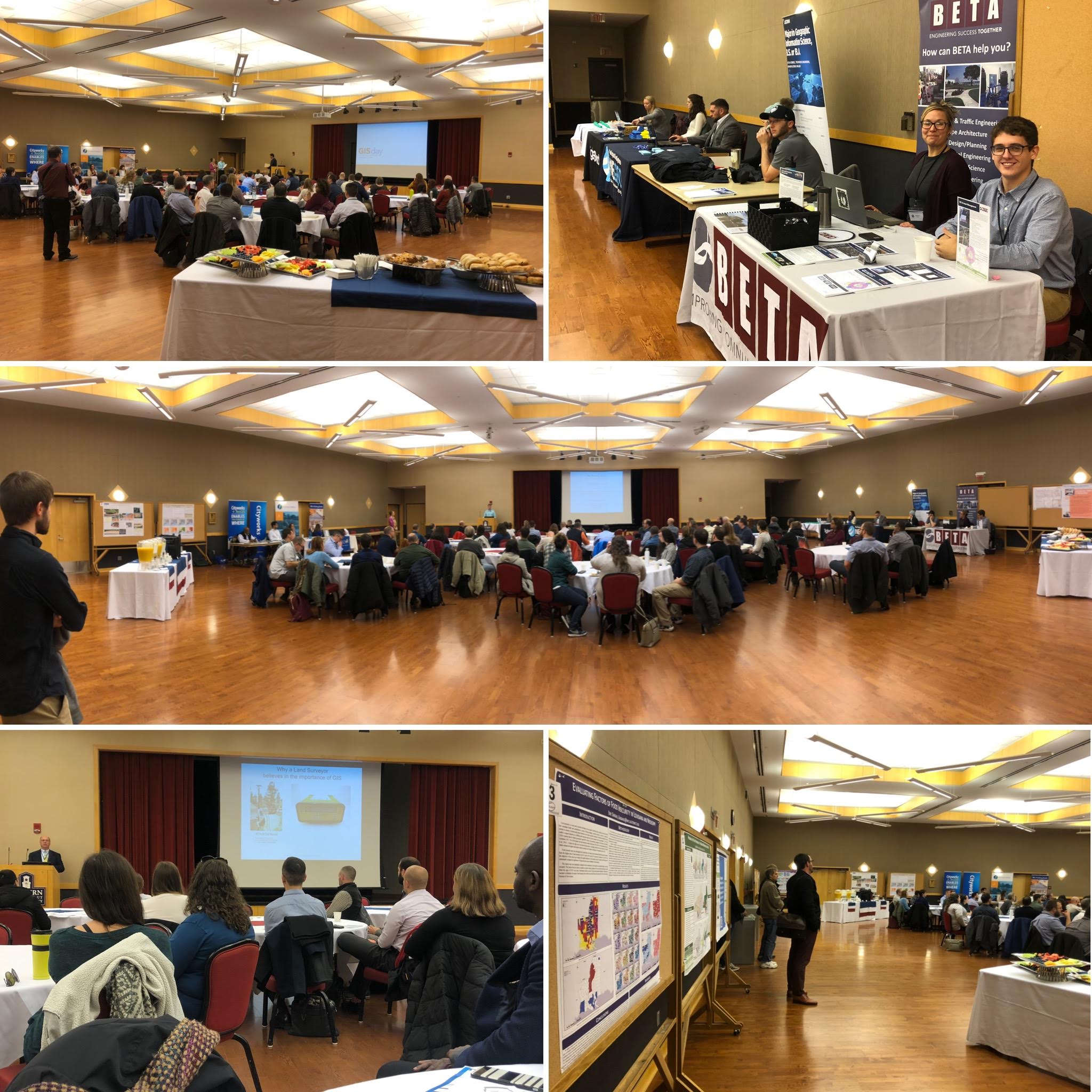
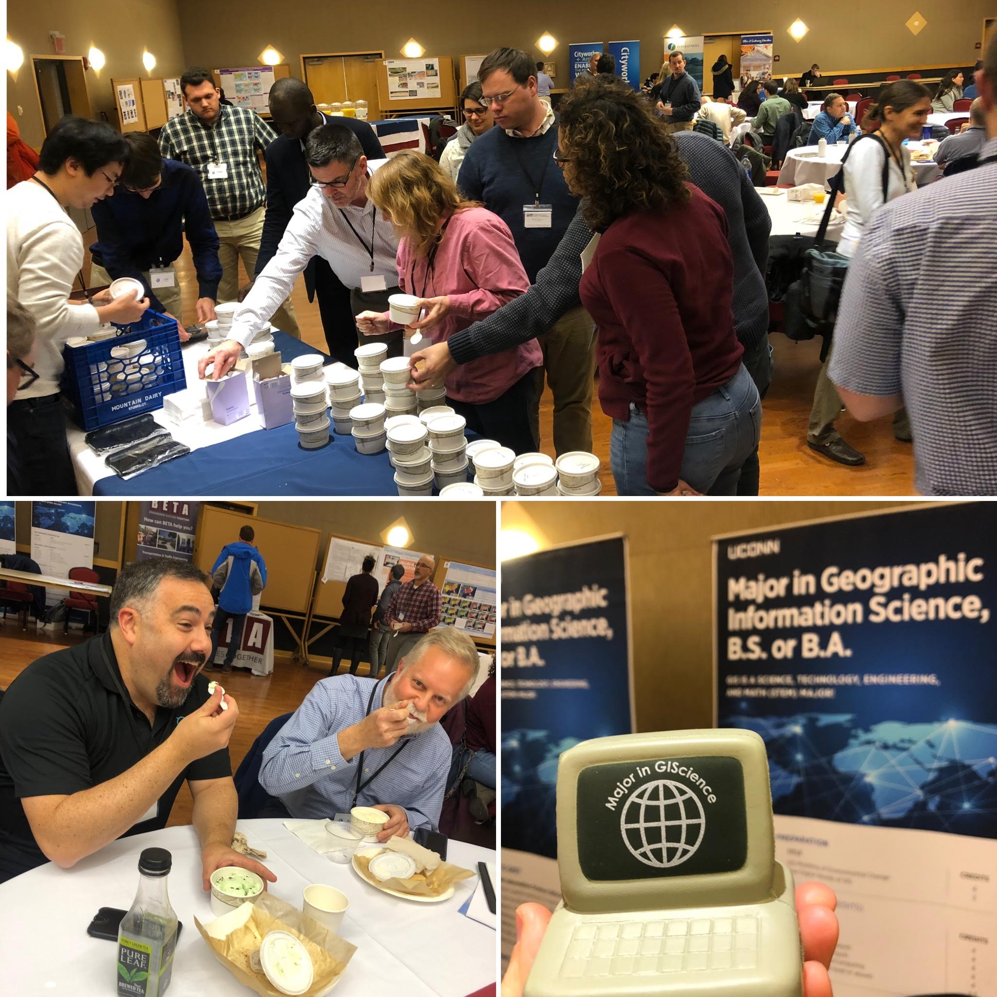
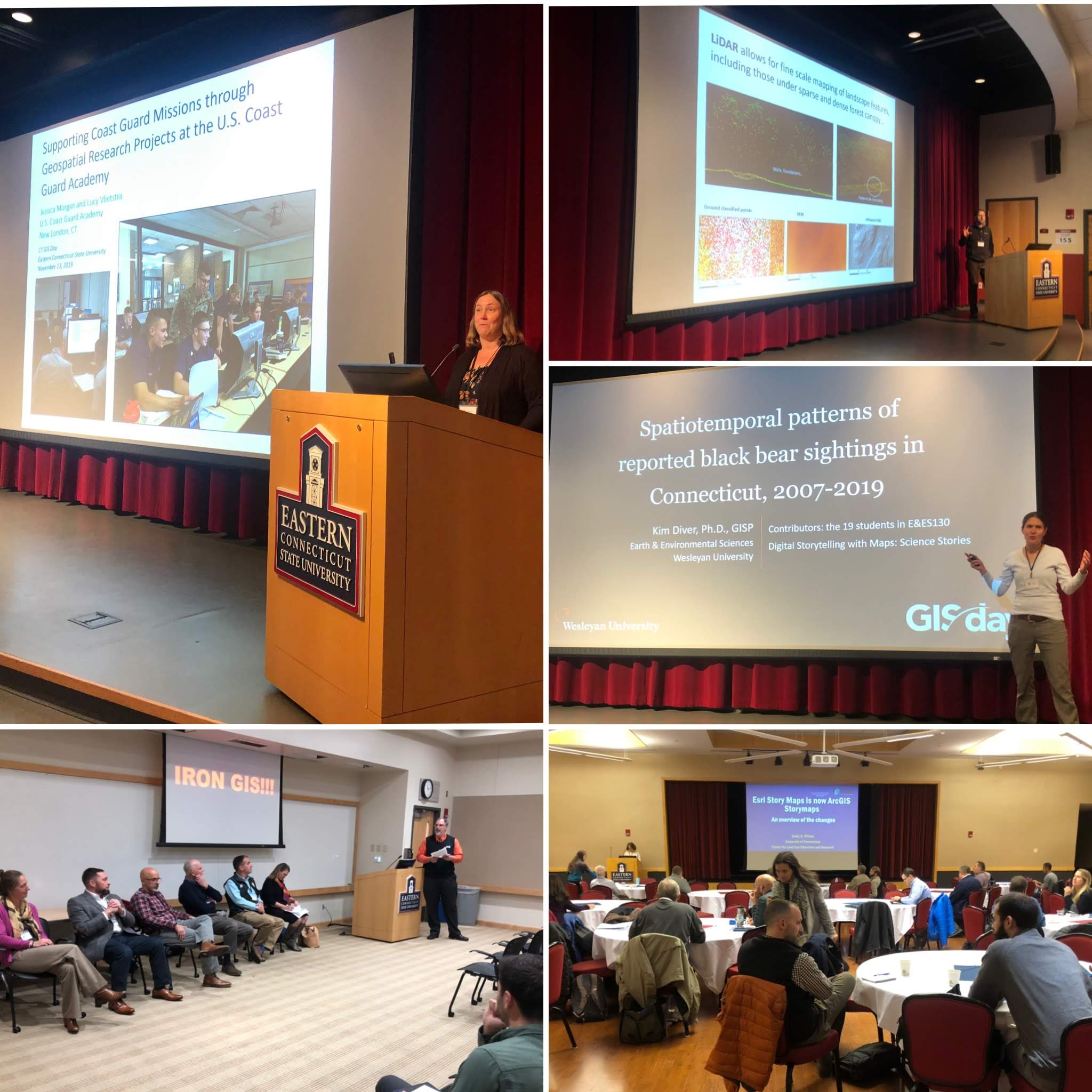
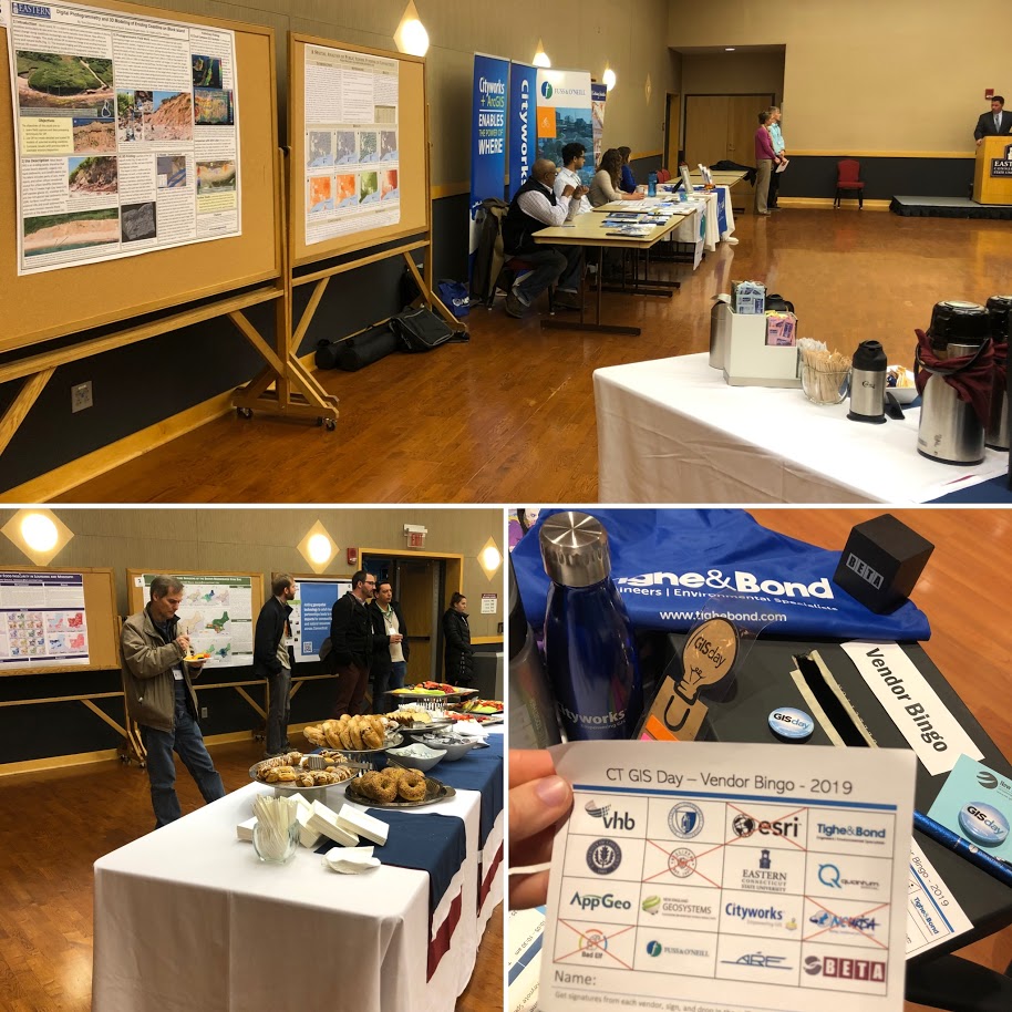
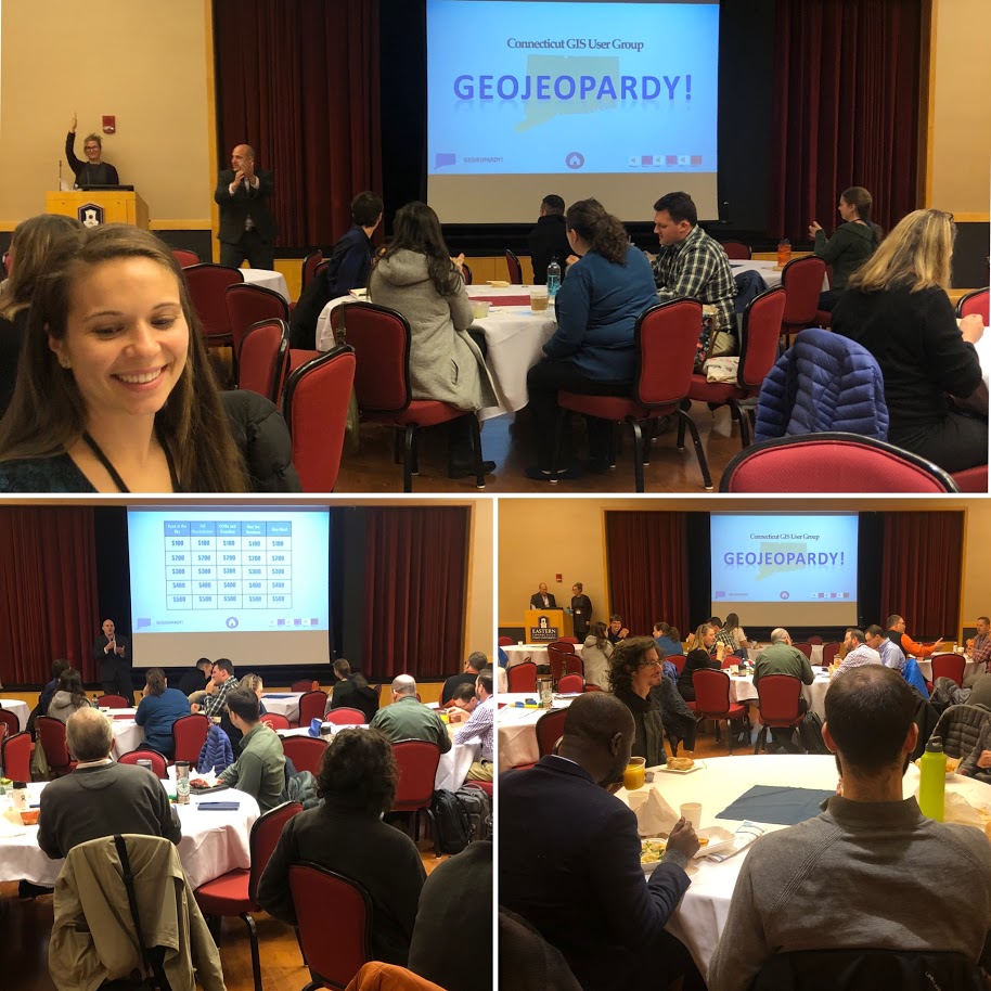
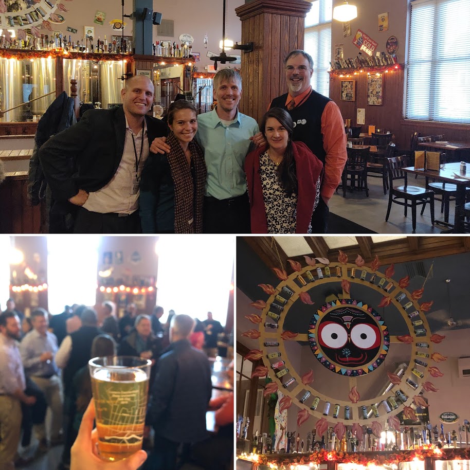
Connecticut GIS Day was held on Wednesday, November 13 at Eastern Connecticut State University. The event was free and open to the public and included presentations from GIS professionals across many disciplines, hands-on workshops, fun games including geoJeopardy and vendor bingo, a poster contest and of course, Mappy Hour. Close to 150 people were registered for the event. If you have feedback for the GIS Day committee or want to get involved in future GIS Day events please take a minute to fill out the survey. Thanks!
Agenda
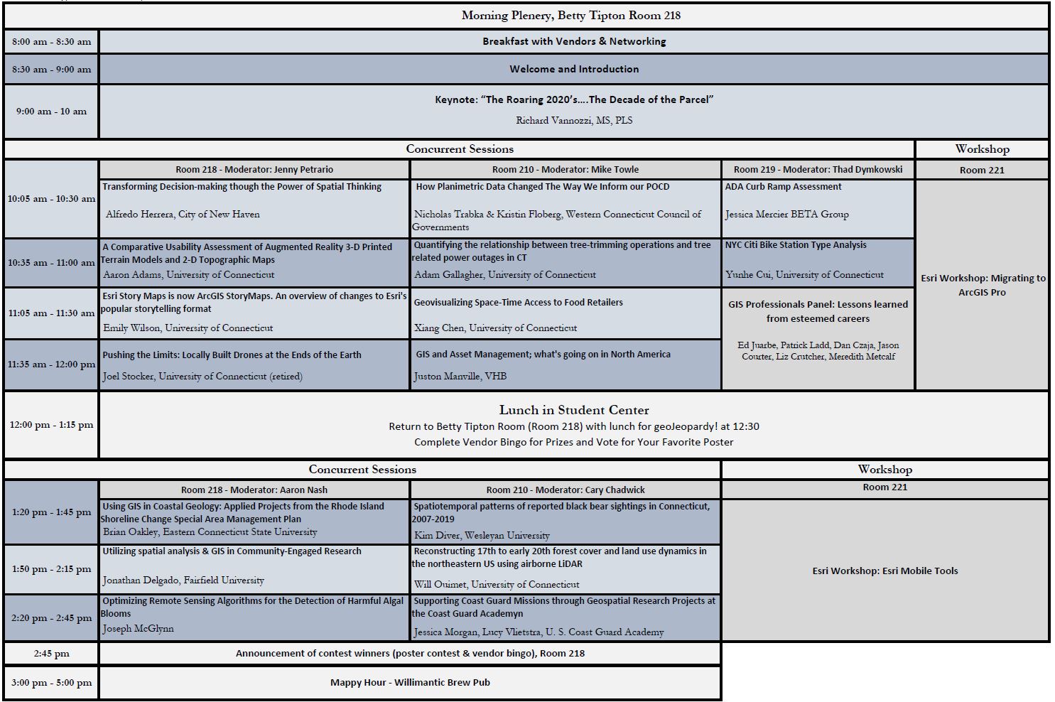
Morning plenary and keynote, morning and afternoon break out sessions, hands-on workshops, poster session, mappy hour…this agenda has it all!
View Full Agenda
Keynote Speaker, Richard Vannozzi, MS, PLS
“The Roaring 2020’s….The Decade of the Parcel”
 GIS has come a long way in the last two decades with the precision of many data sets wholly consistent with the needs of all end users. Similarly, the accuracy of many of these same data sets has also improved greatly as errors have been identified and corrected. However, the development of an authoritative parcel layer has lagged behind because of both the high precision needed and the legal issues that surround the creation of such a layer. Mr. Vannozzi’s keynote address will touch on such things as VRS-RTK, low distortion projections and land tenure considerations as the case is made for why the next decade can (and should) be the decade of the parcel.
Workshops (led by Tom Schwartzman, Esri)
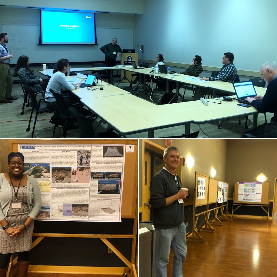
Morning Workshop: Migrating to ArcGIS Pro
Thinking about migrating to ArcGIS Pro or have already migrated to ArcGIS Pro and want to learn more? In this workshop, you will:
- Learn essential ArcGIS Pro terminology
- Get familiar with the ribbon-based user interface
- Learn about mapping, editing, and geoprocessing workflow.
- Acquire new cartography skills to enable you to become a smarter mapmaker, ready to go beyond the defaults and make better maps.
Afternoon Workshop: Esri’s Mobile Tools
This session provides an overview of the ArcGIS Field Apps which includes: Workforce for ArcGIS, Navigator for ArcGIS, Collector for ArcGIS, Survey123 for ArcGIS, and Explorer for ArcGIS. We’ll also do a hands-on exercise around data collection using Survey 123 and/or Collector.